- Thread starter
- #11
You can't beat hiking with family members. We haven't been to Bald Mountain yet. Some time in the future.
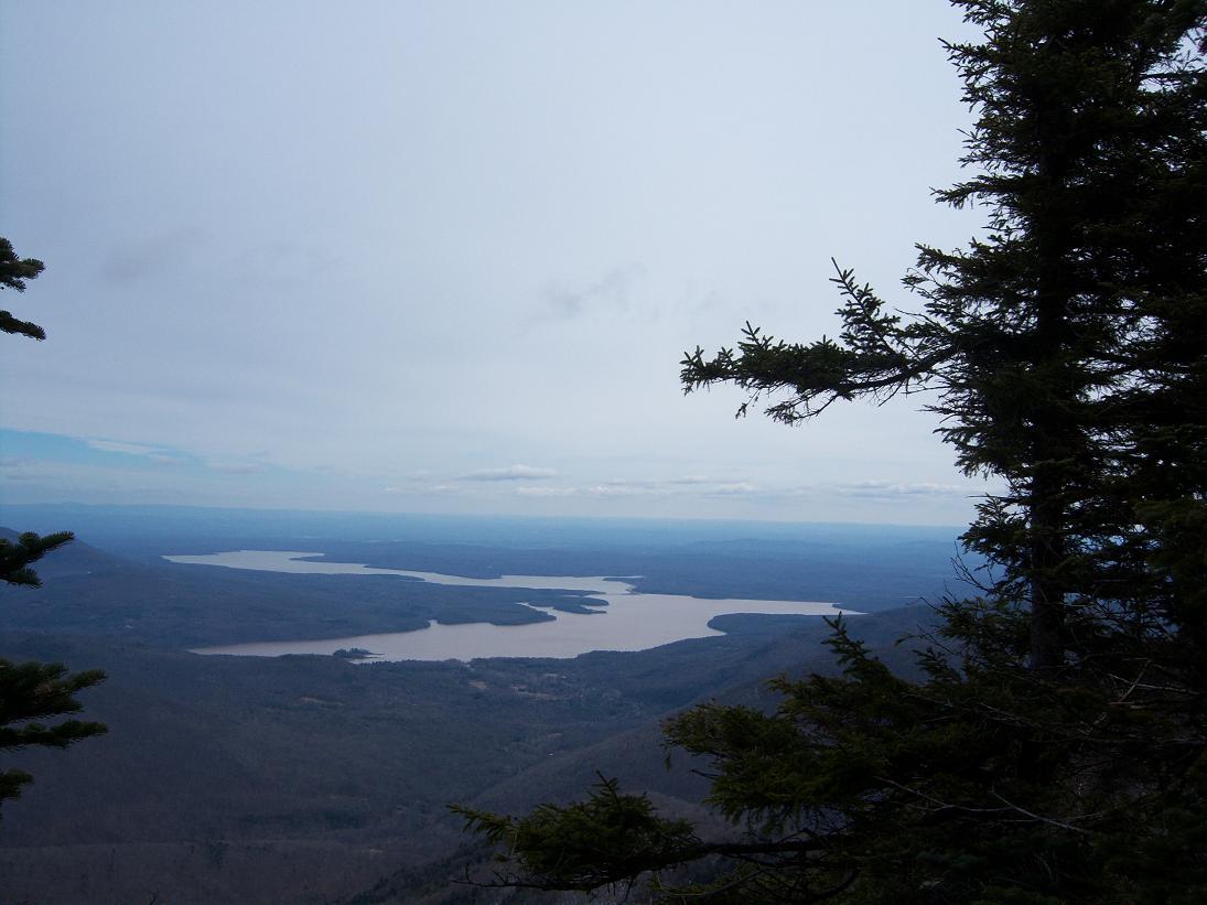
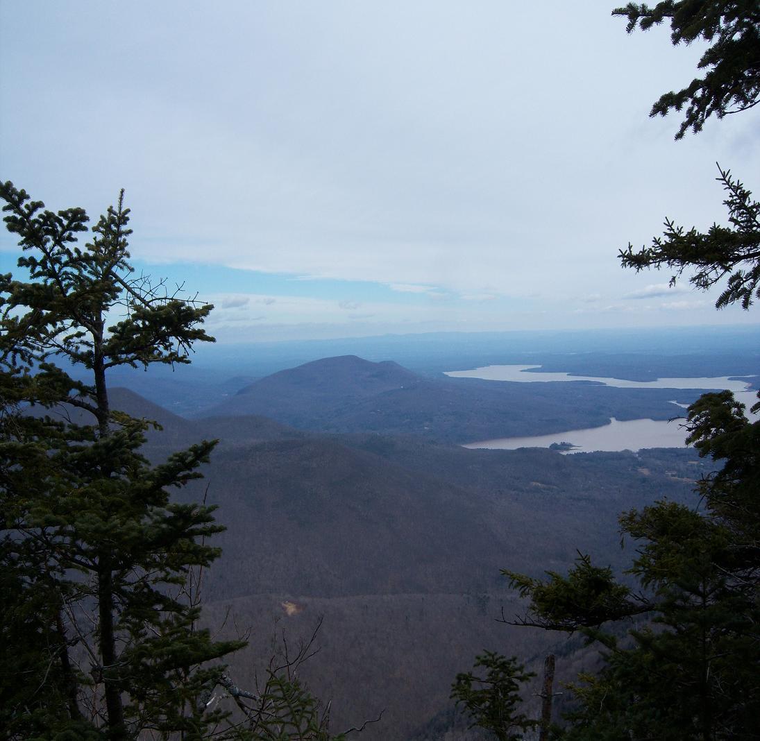
This last hike, we started on the trail head around 7:15am and returned around 4:15pm. It should have only taken us 5 - 6 hours but........ I hope no one was following our trail. Up on the summit there was a lot of people.
Enjoy the day
This last hike, we started on the trail head around 7:15am and returned around 4:15pm. It should have only taken us 5 - 6 hours but........ I hope no one was following our trail. Up on the summit there was a lot of people.
Enjoy the day


")